
Altitude, access and season at a glance
Coorg is a mid-altitude hill region in the Western Ghats of Karnataka, with Madikeri as the main town and Kushalnagar on the Mysuru approach road. Most trips run two to three nights, and the clearest weather falls between October and February.
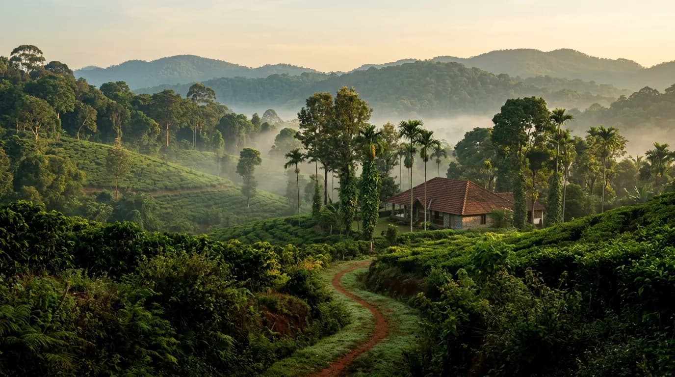
The hills here are green, cool and coffee-covered rather than high or snowy. Madikeri is a mid-altitude hill base, Kushalnagar sits lower on the approach from Mysuru, and the southern belt around Virajpet and Bhagamandala is quieter. Mysuru is the nearest railhead, and Mangaluru, Bengaluru and Kannur are the air gateways, each followed by a road stretch.
| Factor | What to expect in Coorg |
|---|---|
| Region | Western Ghats, Kodagu district, southwestern Karnataka |
| Character of the area | Coffee estates, waterfalls, viewpoints and hill-country drives |
| Altitude | Mid-altitude; no high-altitude effects for most travellers |
| Main base | Madikeri |
| Ideal trip length | 2 to 3 nights |
| Best seasons | October to February for clear weather; March to May for warmer days |
| Monsoon | June to September, heavy rain and mist |
| Nearest railhead | Mysuru, about 95 to 120 km away |
| Nearest airports | Mangaluru, Bengaluru and Kannur, followed by road travel |
Coorg has no railway station and no airport of its own. Every journey ends on a hill road, and that single fact shapes how long you need, which season you pick and how you pace the days.
Valleys, viewpoints and places worth the climb
Coorg's best places fall into three clusters: Madikeri and its surroundings, the Kushalnagar and Kaveri belt, and the pilgrimage and trekking country of the south. Grouping days by cluster saves hours on winding hill roads.
Madikeri and around
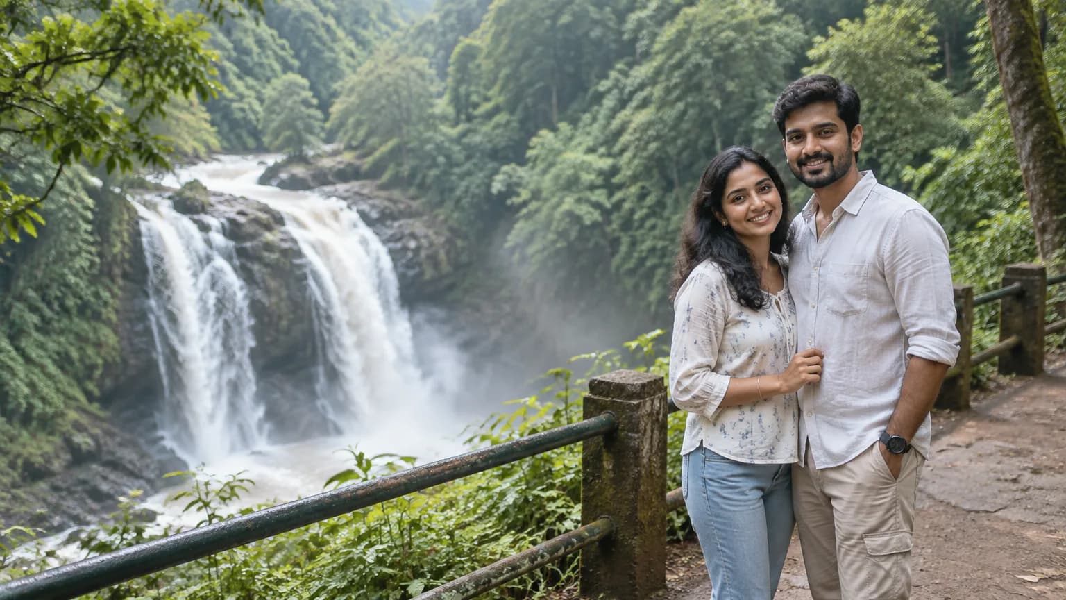
- Abbey Falls is a waterfall set in forested landscape near town, usually a one to two hour stop.
- Raja's Seat is the sunset viewpoint in Madikeri, an easy one-hour visit that works for couples and elders.
- Madikeri Fort is the main historical sightseeing stop in town.
- Mandalpatti is a hill viewpoint about 18 km from Madikeri, at roughly 1,600 metres, and a good half-day outing.
Kushalnagar and the Kaveri belt
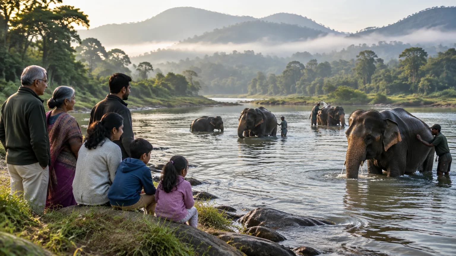
- Dubare Elephant Camp sits beside the Kaveri River and offers supervised elephant viewing, usually two to three hours.
- Nisargadhama is a nature attraction that suits family outings.
- Namdroling Monastery at Bylekuppe is a Tibetan Buddhist monastery, good for a one to two hour cultural visit, quiet time and photography.
South Coorg, pilgrimage and trekking
- Talakaveri at Bhagamandala is associated with the source of the Kaveri River and is usually visited together with Bhagamandala.
- Iruppu Falls is reached through a nature trek that commonly takes three to four hours.
- Tadiandamol is the recognised trekking peak in Coorg for travellers who want a proper climb.
A coffee plantation visit, typically two to three hours, ties the region together. It explains how the estates work and often includes a chance to buy coffee.
Snow, monsoon and clear-sky months
Coorg does not get snow. It is a Western Ghats hill region where winter means cool, dry weather of about 15 to 25 °C, and the real seasonal swing is between clear months and heavy monsoon rain.
Here is how the year actually behaves:
- December to February: cool and dry, around 15 to 25 °C, with low rain and the best views. This is the most comfortable window for sightseeing and road travel.
- March to May: warmer, generally around 20 to 35 °C, with pre-monsoon showers building towards May. Prices run higher in March to May.
- June to September: heavy rainfall, mist and very green landscapes. Outdoor activities can be limited, and heavy rain can cause slippery roads and landslides.
- October and November: rain eases and temperatures turn comfortable again. Puthari, the Kodagu harvest festival, falls in November or early December.
For first-timers, families and photographers, December to February is the safest window. For travellers who want a quiet, misty stay and are happy to spend time indoors, June to September offers lower prices and a deeply green landscape. Adventure seekers should favour the post-monsoon and winter months, when trails and rivers are more predictable. If snow is the goal, a Himalayan hill trip is the better fit.
Roads, rail and altitude: reaching Coorg
Reaching Coorg always ends on the road. Mysuru is the nearest railhead, about 95 to 120 km away, and Mysuru Junction to Coorg is roughly 120 km, around three hours by taxi or bus. The nearest airports are Mangaluru, Bengaluru and Kannur.
How travellers from major Indian cities usually arrive:
- From Bengaluru: about five to six hours by road, which is why this is the most common starting point.
- From Delhi: a flight to Bengaluru, then five to six hours by road, about eight to nine hours in total (as of 2026).
- From Mumbai: a flight to a nearby airport followed by road travel to Coorg.
- From Chennai: about 12 hours by road.
- From Hyderabad: about 14 hours by road.
- From Pune: about 17 hours by road.
- From Ahmedabad: about 26 hours by road.
On the last stretch, Bengaluru airport to Coorg is about 260 km and takes five to six hours. Mangaluru airport is roughly 150 to 165 km from Coorg, with onward bus or taxi. Buses and taxis also link Coorg with Bangalore, Mysore and Mangalore, and travellers can take a train to Hassan, Mangalore or Kozhikode and continue by road.
Weather decides how smooth the last stretch is. Heavy monsoon rain can slow the ghat sections and, in the worst case, block a road after a landslide. A buffer day on either side of the trip helps, particularly between June and September, and it is wise to finish the final hill stretch before dark.
Altitude is moderate, not high. Most people feel nothing at all, but a gentle first evening, plenty of water and a light first day are sensible if you arrive from sea level.