
Altitude, Access and Season at a Glance
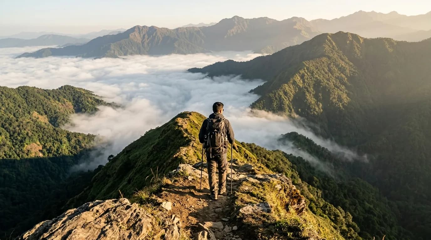
Northeast India is not a single hill station but a region of eight states, each with its own terrain and access network. Assam sits largely at low altitude in the Brahmaputra valley, while Arunachal Pradesh and Sikkim climb into the eastern Himalayas at high altitude. Meghalaya and Nagaland occupy mid-altitude hill ranges. The best time to visit is the dry season from October to March, when roads are clearer, skies open up and temperatures are manageable. A 4–6 night trip covers the Assam–Meghalaya circuit well; longer routes to Tawang or Sikkim need eight nights or more. Guwahati is the main gateway, connected by air and rail to cities across India.
Valleys, Viewpoints and Places Worth the Climb
The places below reward the effort of getting there. Each is grouped by area so you can build a logical route rather than criss-crossing the region.
Assam and the Brahmaputra Valley
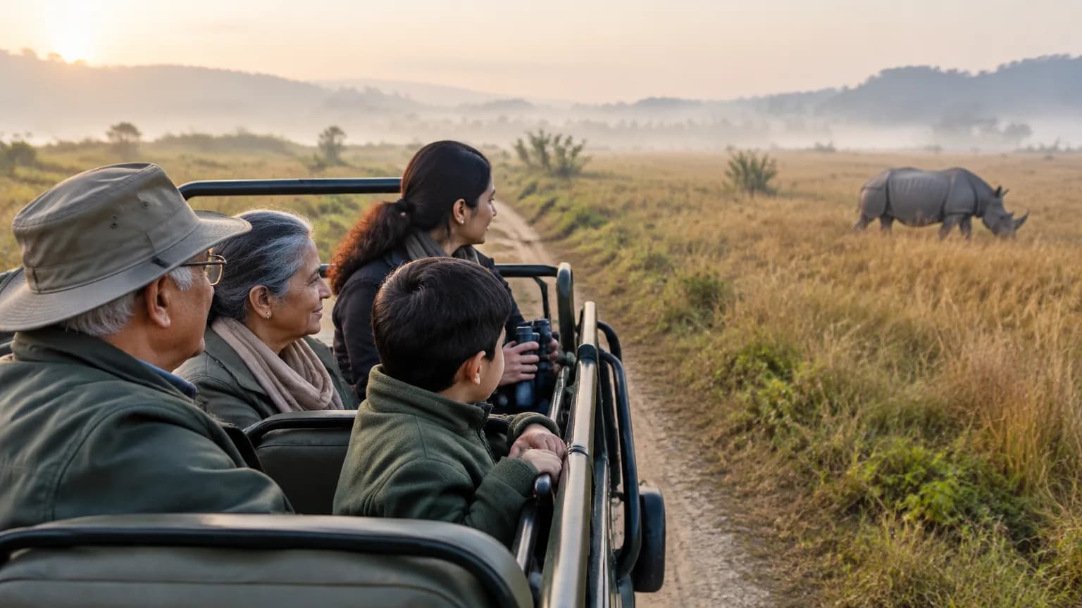
- Kaziranga National Park — the one-horned rhinoceros is the main draw. Wildlife viewing here is among the most reliable in India. Note that the park closes from around May or June until October or November each year; confirm exact dates before booking.
- Majuli and Sivasagar circuit — Majuli is a large river island in the Brahmaputra; Sivasagar holds Ahom-era heritage sites. This circuit is commonly combined with Kaziranga and Jorhat.
- Manas, Nameri, Orang and Dibru-Saikhowa national parks — four smaller wildlife areas in Assam, each with a distinct character and less visitor traffic than Kaziranga.
Meghalaya
- Shillong — the hill-station base for the state, used as a starting point for Cherrapunji and Dawki. Road access from Guwahati takes roughly three hours by shared Sumo.
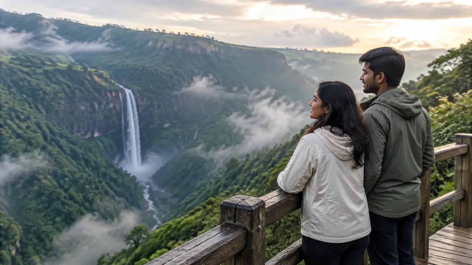
- Cherrapunji and Dawki — part of the classic Guwahati–Shillong circuit. Cherrapunji is known for waterfalls and living root bridges; Dawki sits on the Umngot river near the Bangladesh border.
- Balpakram National Park — a less-visited wildlife area in southern Meghalaya for travellers going deeper into the state.
Arunachal Pradesh and Sikkim
- Tawang — a high-altitude destination reached by road through Dirang. Snowfall can close the approach roads in winter, so a buffer day is essential.
- Ziro Valley — a mid-altitude valley in Arunachal, known for the Ziro Festival of Music held each September as monsoon conditions ease.
- Namdapha National Park — a large park in eastern Arunachal Pradesh, suited to wildlife and trekking trips.
- Khangchendzonga National Park — Sikkim's high-mountain park, usually approached through the northeastern gateway network.
Snow, Monsoon and Clear-Sky Months: Northeast India Weather by Season
The dry season from October to March gives the clearest skies and the most reliable roads, making it the peak travel window for most Northeast India itineraries.
- October–November: Rain drops sharply from 120mm in October to 25mm in November. Temperatures sit between 19°C and 24°C. The Hornbill Festival in Nagaland and the Cherry Blossom Festival fall in this window. Crowds and prices are high.
- December–January: The driest months, with only 10–12mm of rain. January averages 14°C. Clear views are the reward, but this is also when crowds and prices peak across the region. Snow is possible at high passes like Nathula and on roads to Tawang.
- February–March: Temperatures rise to 17°C–21°C and crowds thin slightly. Rongali Bihu preparations begin in Assam by late March. A good window for those who want clear weather without peak-season pricing.
- April–May (pre-monsoon): Warm at 24°C–26°C, with increasing showers reaching 160–310mm. Some national parks begin closing from May. Roads are still passable but can be slippery.
- June–September (monsoon): Rainfall peaks at 520–580mm in June–July. Humidity is high and landslides are a real risk, especially in Arunachal Pradesh, Meghalaya and Sikkim. Crowds are low and prices drop, but travel disruption is common. The Ziro Festival in September is a reason some travellers accept the late-monsoon conditions.
For snow, January and February are the months to watch in high areas. For clear views across the valleys, November and December are the most reliable. Travellers who want wildlife should check park opening dates, as closures vary by park and year.
Roads, Rail and Altitude: Reaching Northeast India
Guwahati is the main airport and railhead for the region, with air connections from Delhi (roughly 2.25 hours), Kolkata and other major cities. From Kochi, the journey takes about 6.25 hours with a connection. Kolkata provides domestic air routes to Guwahati, Agartala, Dibrugarh, Imphal and Dimapur, making it a useful hub for travellers heading to specific states.
By rail, the network is expanding. The Kamakhya–Charlapalli Amrit Bharat Express is intended to provide a direct rail link between the Northeast and southern India. National highway length in the region reached 16,207 km as of 1 April 2025, improving interstate road connectivity, though mountain roads remain narrow and slow.
The last road stretch to high-altitude destinations like Tawang or Gurudongmar Lake can be delayed by snow in winter or landslides in the monsoon. A buffer day at the start and end of any high-altitude section is not optional — it is practical planning. The Guwahati–Shillong corridor is 66 km and takes roughly three hours; the Guwahati–Tawang route is a multi-day drive.
For acclimatisation: arrive in Guwahati or Shillong first, spend a night at a lower altitude, and move gradually to higher areas. Drink water, avoid alcohol on the first day at altitude, and descend if anyone in the group feels unwell. Medical facilities are limited in remote hill areas, so carry personal medicines.